Welcome to Valley County Montana
EFFECTIVE MONDAY MAY 7TH, THIS SITE WILL NOT BE UPDATED FOR UP TO 2-3 WEEKS-
WE ARE IN THE PROCESS OF MIGRATING ALL OUR FILES TO A NEW WEB SERVER & SITE.
WE APPRECIATE YOUR PATIENCE IN THIS MATTER
Valley County is located in the North Eastern part of Montana. In 1893
Valley County was formed from the northern part of then Dawson County
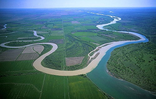
from the lands north of the Missouri River. According to the information
taken from the USGenWeb
Project, Valley County MT website , at that time Choteau bordered it
on the west, Dawson County to the south, North Dakota to the east and
Canada to the north. Blaine County was formed to the west of Valley
County from part of Choteau in 1912, and Valley County was reduced
further through out the next few years with the development of Sheridan,
Phillips, Roosevelt and Daniels County. The present size of the county is 5,062
square miles, with the county seat being Glasgow.
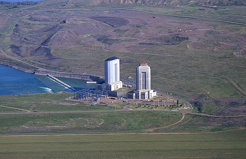
Below is a map of Valley County from the 1930's prior to the Fort Peck Dam Project.
Please check out our site and browse through the various links that we have provided, and discover why we feel Valley County is the Best of the Big Sky Country.
Below is a map of Valley County from the 1930's prior to the Fort Peck Dam Project.
Please check out our site and browse through the various links that we have provided, and discover why we feel Valley County is the Best of the Big Sky Country.
Valley County Commissioners:

John Fahlgren
Bruce Peterson
Paul Tweten
John Fahlgren
Bruce Peterson
Paul Tweten
Special Interest Links
VALLEY COUNTY ALL FIRE DEPARTMENT'S PAGE
Multi-Hazard Mitigation Plan
PRE-DISASTER MITIGATION PLAN
Valley-Roosevelt-Daniels & Sheridan Counties Safety Officer's Page